


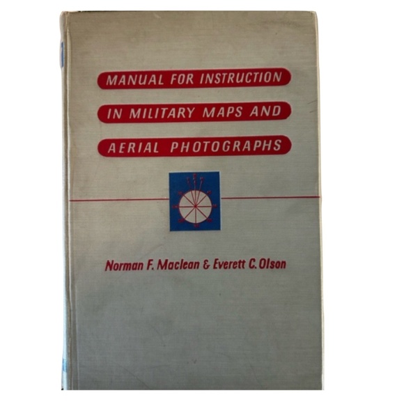


Manual for Instruction in Military Maps and Aerial Photographs
$175 $50
Pay in 4 interest-free payments of $43.75
with ![]() .
Learn More
.
.
Learn More
.
Size
Like and save for later
Add To Bundle
Manual for Instruction in Military Maps and Aerial Photographs
by Norman F. Maclean
The Institute of Military Studies
The University of Chicago
HARDCOVER / 138 pages plus 5 folding plates at rear of book
Illustrated
Aerial photography
Language: English
Book binding intact and in very good condition
Owner's name is written on inside cover and
stamped on four pages prior to the foreword
No other markings in book
Pages are not brittle
HARPER'S GEOSCIENCE SERIES
Carey Croneis, Editor
COLLECTIBLE
Five folding plates at rear
Plate I is detached from its original book perforation - see last picture for this plate
Publisher : Harper & Bros.; First Edition
Copyright, 1943
Printed in the United States of America
Shipping/Discount
Posh Protect: Buyer Protection Policy
Get your order as described or receive your money back. Learn More.


Find Similar Listings
About the seller

@fishtime4me
Last Active: 6 hours ago
311
Listings100+
Sold Listings1 day
Avg. Ship time35
Love NotesAbout the seller
@fishtime4me
Last Active: 6 hours ago
