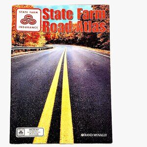
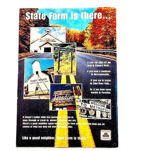
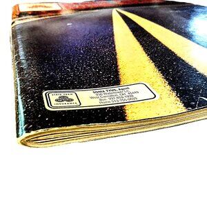
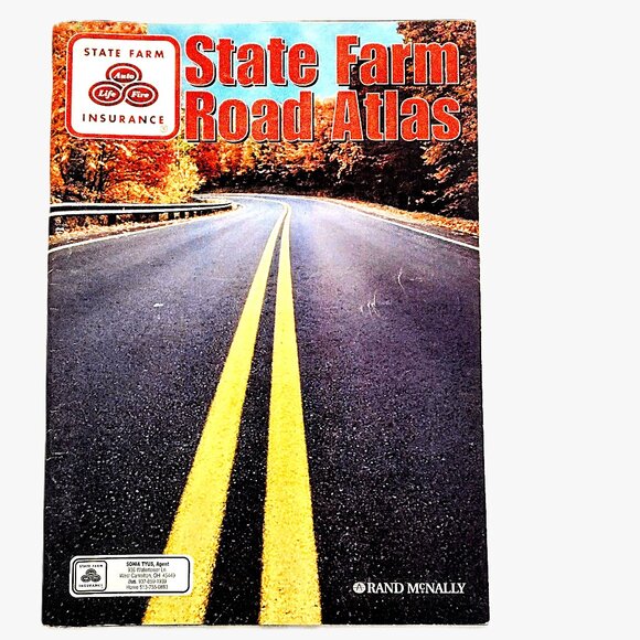
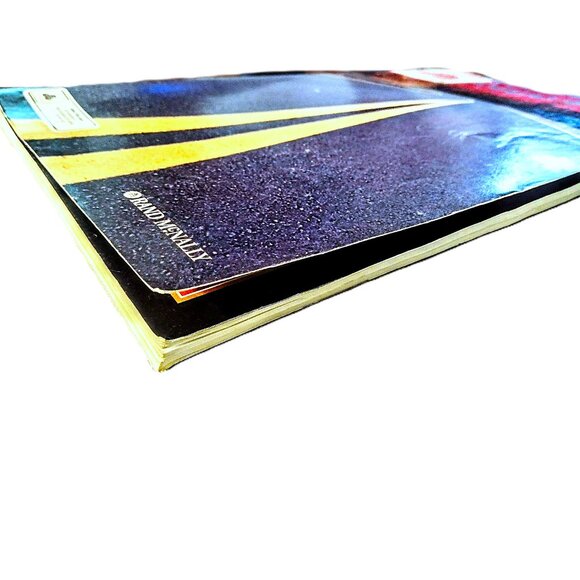
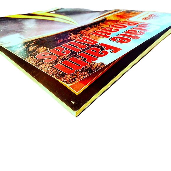
Rand McNally-State Farm VINTAGE ROAD ATLAS ~ U.S., Canada, Mexico + ~ 1998!
$13
Size
Like and save for later
Add To Bundle
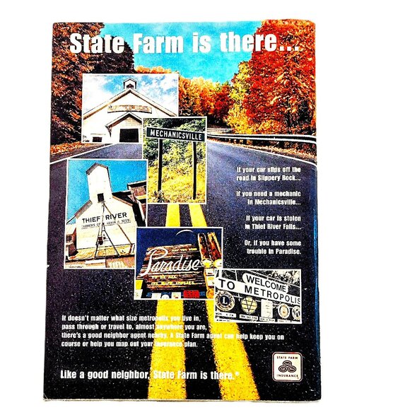
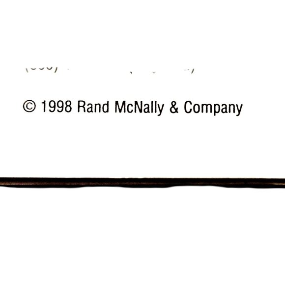
1998 VINTAGE Rand McNally-State Farm ROAD ATLAS
15.3" H x 11" W x .25" Thick (144 Full Color Pages)
Approx. 1.3 Lbs. (Before Packing for Shipping)
INCLUDES:
~ Short Descriptions of America's Scenic Roads (General Location on U.S. Map)
~ Overview Snippets w/Photos for U.S. Vacation Travel Spots (Major Cities & Parks)
~ Page Index of U.S. & State Maps, U.S. Cities, U.S. National Parks, Canada, Mexico & Puerto Rico
~ List & Description of Map Symbols
~ 2-Page Spread of U.S. showing State Lines, Interstates & Major Highways
~ Detailed State Maps of Each State with Close-up Maps of Major Cities
~ INDEX of U.S. Counties, Cities & Towns (Ref. by State, Location Indicators)
~ INDEX of Canada & Mexico Cites & Towns
~ N. American Park Treasures (List of Parks by State w/Amenities)
~ State Farm Family Fun Guide (by State)
~ America's Great Gardens (by State)
~ Area Code Map
~ Travel Safety Tips
~ Mileage & Driving Time Map of U.S.
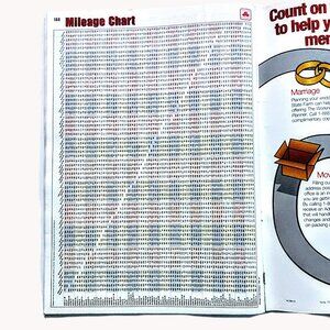
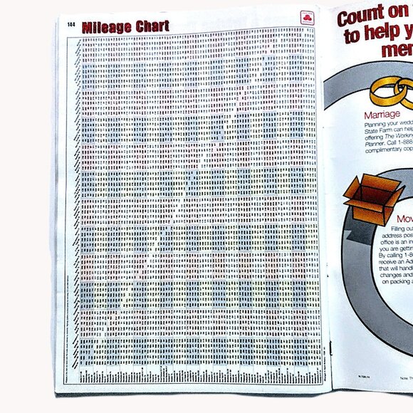
~ Mileage Chart between Major Destinations
Explore the world with this vintage 1998 Rand McNally-State Farm Road Atlas. This resource is perfect for cartography enthusiasts and collectors alike. This publication is not just a beautiful vintage atlas but also a valuable resource for educational and commercial purposes.
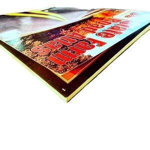
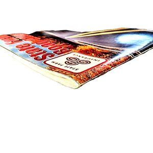
Very Good VINTAGE Condition (Light Wear on Cover)
CLEAN ~ No Writing / No Torn or Missing Pages
Shipping/Discount
Trending Now
Find Similar Listings

